Cueva del Tigre, Jaguar Cave, Aldea Plan Grande Tatin, Municipio Livingston
Caves are the entrance to the Underworld of the Preclassic, Classic, and Post Classic Mayan people of Mexico, Guatemala, Belize, Honduras, and El Salvador. Spectacular caves can be found in Alta Verapaz (Guatemala) and Yucatan and Campeche (Mexico). But there are also nice caves in Izabal (Guatemala), both in the Municipio of Morales (Cuevas del Silvino) and the several caves in the Municipio of Livingston.
Xibalba is the entrance to Hell in the Mayan Underworld (Life after Death). Xibalba is inhabited by demons, gods, and monsters. You can learn about Xilbalba (and the Hero Twins) in free downloads of the Popol Vuh (in English one edition is by Christenson; another edition by Tedlock). Spanish editions by various historians including Agustin Estrada Monroy.
We (FLAAR Mesoamerica in Guatemala and FLAAR in USA) are undertaking field trips to photograph every interesting cave in the Municipio of Livingston (Izabal, Guatemala). In mid-March 2020 we were taken to Plan Grande Tatin in a 4WD pickup truck. It’s a dozen or so kilometers (but takes an hour or so since most vehicles have long ago lost their springs and ability to transit over rocky pot-holed dirt and gravel roads). This is part of the adventure. No buses here because Livingston is not reachable by any highway or any land route: access to the Municipio is only by water (Rio Dulce river from the bridge or by water taxi from the Municipal dock of Puerto Barrios to the southeast).
My brothers and I explored caves in the karst geology of the Ozark Mountains when we were kids. Weekend after weekend we would crawl through caves around Sinking Creek. Two of my brothers are still enjoying visiting caves around the world. So FLAAR has sponsored lots of cave explorations in the Candelaria cave area of Alta Verapaz. Plus, since we have many Q’eqchi’ Mayan friends in remote areas of Alta Verapaz and southern Peten, we have access to lots of caves that are not in touristed areas. We appreciate the cooperation of the Municipio of Livingston for access to the caves in this part of Izabal. |
Raging River during the Rainy Season
I have visited dozens of caves where rivers flow out from the mouth of the cave. But only rarely have I explored a cave where the river comes INTO the front of the cave (and then “disappears”).
The day we happened to visit the cave it was pouring rain. It had rained for the previous several days (very hard). March is not the rainy season, but with climatic change the weather now is not as consistent as in previous years.
Due to the amount of water, and the swift current, we did not attempt to hike into the cave more than about 60 meters.
If you arrive in the dry season, there may be no water whatsoever in the mouth of the cave: only a pool at the end of the cave.
Due to the amount of water, and the swift current, we did not attempt to hike into the cave more than about 60 meters.
If you arrive in the dry season, there may be no water whatsoever in the mouth of the cave: only a pool at the end of the cave.
 |
Click to enlarge. |
 |
Click to enlarge. |
These videos show you the beauty of the river roaring into the mouth of the cave. |
How to get to Cueva del Tigre (via town of Livingston)
1A: drive or bus to Puerto Barrios; get to the Muelle Muncipal of Puerto Barrios, then take a water taxi to Livingston (between 20 and 40 minutes boat depending on weather, height of waves, etc.).
1B: in Livingston, find a Q’eqchi’ Mayan speaking guide to take you in back of a pickup truck to Aldea Plan Grande Tatin (a dozen or so kilometers from Livingston).
1C: hike from Aldea Plan Grande Tatin a few kilometers to the cave.
Option 2: Go via the Finca Tatin Hotel & Travel Agency. We did not go this route; we went twice on the road and trail from the town of Livingston by 4WD pickup truck to Plan Grande Tatin.
Can you hike from Livingston to Cueva del Tigre?
I hiked back from the Q’eqchi’ Mayan village of Plan Grande Tatin back to Livingston about 40% of the route (so I could photograph the Heliconia flowers). A 4WD pickup truck took me where there was less to photograph. I am 75 years old. There are a few hills but not too steep.
If you like Neotropical plants and their gorgeous flowers, the walk is worth the effort. If we had more time I would easily have hiked 70% of the route (the percent that has awesome flowers and trees alongside the road).
Once you are in the village you have to hike the entire way from Plan Grande Tatin settlement to the cave. No road (not even for 4WD). It was the height of the rainy season and took perhaps 2 hours each way (since we stopped to photograph the photogenic flowers every few minutes). In the dry season (and if you don’t stop to take photos), should be less than 1 hour (to) and 1hour back.
If you don’t have money for a pickup truck, yes, you can hike the entire way, but leave early in the morning (after a healthy breakfast). And be sure to have a box lunch. Plus, be sure to have a local Q’eqchi’ Mayan speaking guide.
There are no hotels near the cave any more; and no restaurants. But surely you can buy tortillas in Plan Grande Tatin.
Be sure to leave an appropriate tip for the local guide from Plan Grande Tatin. 100 Quetzales is appreciated by each local guide.
Introductory Reading on Cueva del Tigre of Guatemala
So far no monograph, no articles on this cave. Web sites show lots of photos (Google Cueva del Tigre, Livingston ).
www.forum.com.gt/posts/la-cueva-del-tigre-y-sus-cristalinas-aguas
Nice photos at large size.
www.guatemala.com/guias/aventura/lugares-que-tienes-que-visitar-si-viajas-a-izabal-guatemala/cueva-del-tigre.html
Three nice photos, in a month when the river was totally dry (but at back of the cave, inside, still a pool of water).
Our field trips of early March 2020, Muncipio of Livingston
March 9, 2020 |
Livingston to Cueva Del Tigre |
Neotropical flowers everywhere (and impressive cave river) |
March 10, 2020 |
El Cañon Rio Dulce, tasiste (pimientillo) palms near Hotel Maya Ak’ Tenamit area, Isla de Flores, Isla de Pajaros |
Water birds (especially pelicans); lots of other water birds on the islands in El Golfete; lots of water lilies. |
March 11, 2020 |
Biotopo Chocón Machacas |
We hiked the two trails here; Neotropical flowers of every color, size, and shape (a paradise if you like flowers and exotic plants) |
March 12, 2020 |
Mouth of Rio Sarstun; then, Lagunita Creek nature preserve (CONAP and FUNDAECO), Tapon Creek (CECON) |
Lagunita Creek had hiking trails that let you see more species of palms than I have noticed anywhere else in 54+ years exploring Guatemala. Then we went to nearby Área Protegida Parque Ecoturístico Tapon Creek (CECON). |
March 13, 2020 |
Camino de Livingston to Aldea Plan Grande Tatin |
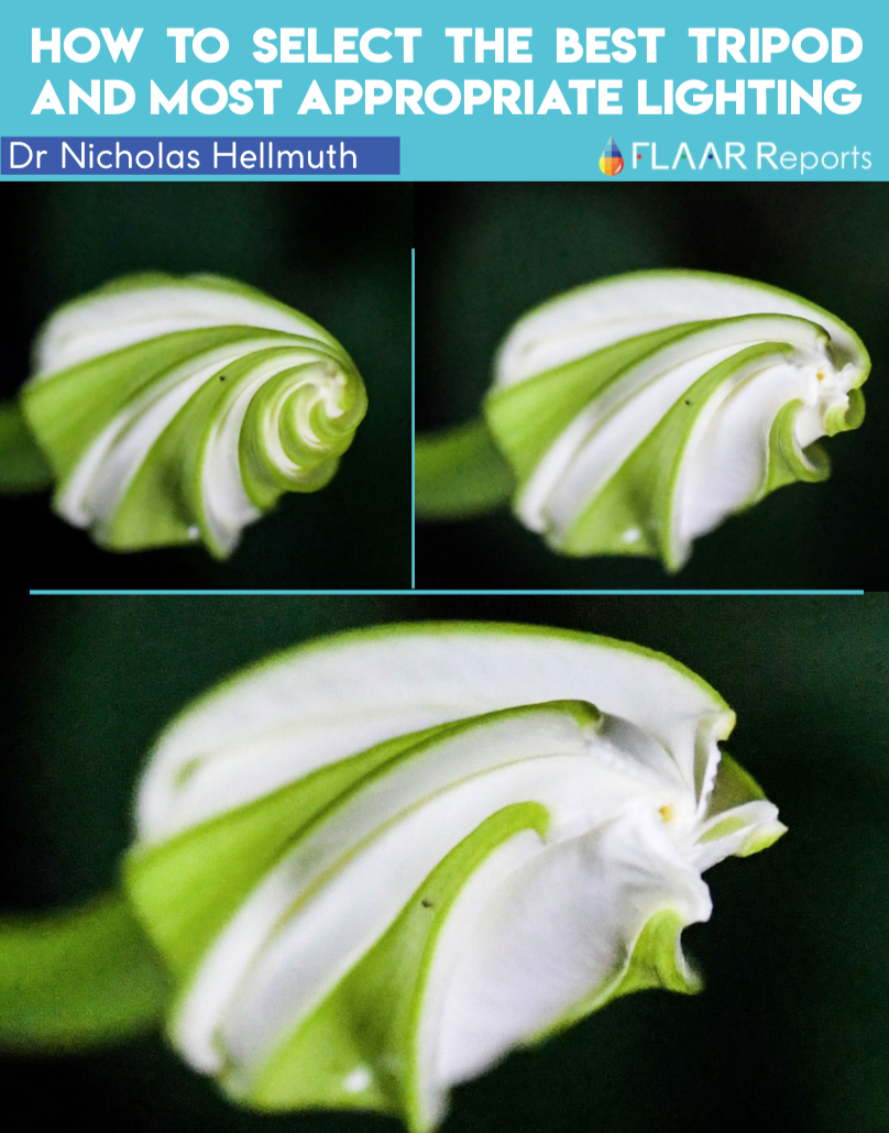
Two species of Heliconia; morning glory vine flowers; lots of other Neotropical flowers. |
March 14, 2020 |
Laguna el Salvador, Isla de Pájaros, El Golfete, Los manglares. |
Lagunita Salvador, Lagunita (Creek) Cáliz |
We look forward to many more field trips to the nature reserves, rivers, creeks, lagoons, lakes, water lily swamps, forests and caves in the Municipio of Livingston.
I first came to Guatemala at age 17 as a backpacker; lived in Tikal National Park for a full 12 months (age 19, in 1965, as a student intern in archaeology for my undergraduate thesis at Harvard). Worked for 4 years mapping the Mayan ruins of Yaxha (plus updating the earlier maps of Nakum and Topoxte Island) 1970-1974.
During 2018-2019, spent 12 months (one week per month an entire year) assisting the Parque Nacional Yaxha Nakum Naranjo with photographing flora and fauna of this remarkable park. Now (2020) we are doing research in the Municipio of Livingston, coordinating with the hospitable Alcalde and his helpful team.
First Posted March 18, 2020

